Estimating grass curing from ordinary field photographs.
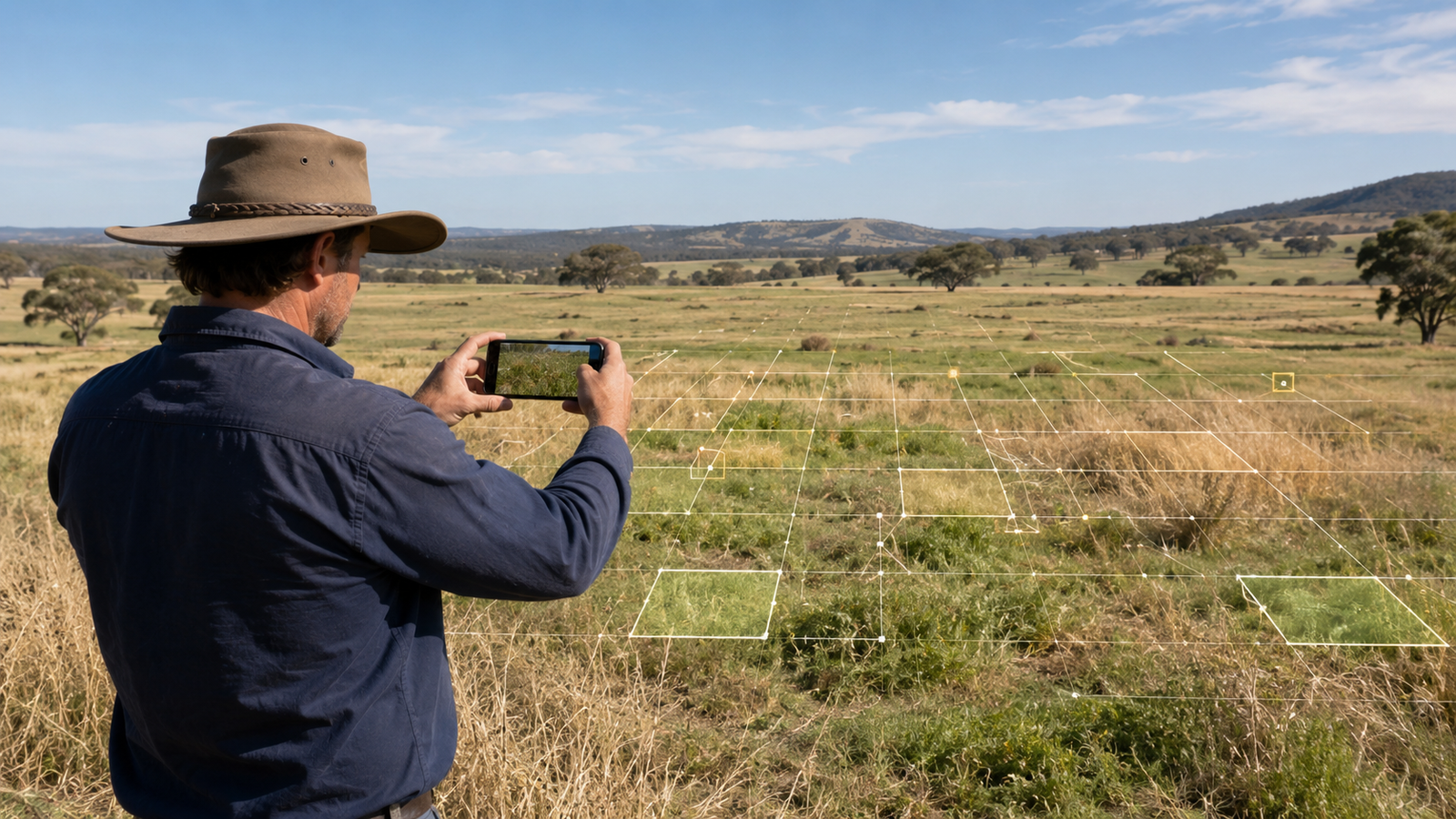
Luniqex developed an image-based AI proof of concept for estimating grass and fine-fuel curing percentage from field images. The model predicts a continuous curing value from 0-100%, where higher values indicate drier, more cured vegetation.
Problem
Grass curing is operationally important because it affects how dry, flammable, and responsive fine fuels may be under fire-weather conditions. In practice, visual curing estimates can vary by observer, lighting, season, scene type, camera angle, and location.
The project asked whether a modern computer-vision model could learn this signal directly from ordinary photos without requiring a complex masking or segmentation workflow.
Approach
The project evolved from an initial computer-vision experiment into a curated image-regression system using DINOv3, VLM-assisted dataset review, human label auditing, and metadata calibration. Dataset quality work mattered as much as model choice: poor images were removed, corrected labels replaced original labels, and weak scene types were targeted for further review.
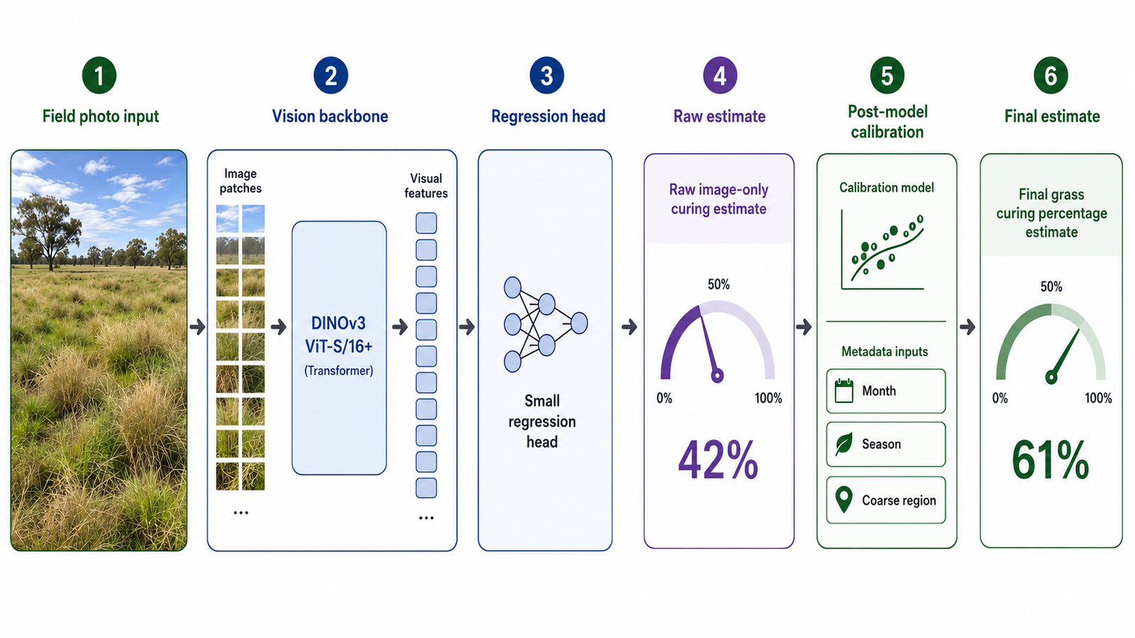
Conceptual system view: field image input, DINOv3 vision backbone, regression head, raw estimate, metadata calibration, and final curing estimate.
A Vision Language Model review pipeline used Gemini, OpenAI, and Claude to generate scene and quality metadata. Where providers disagreed, a breaker step adjudicated the result. This helped identify unsuitable training examples and understand where the model struggled.
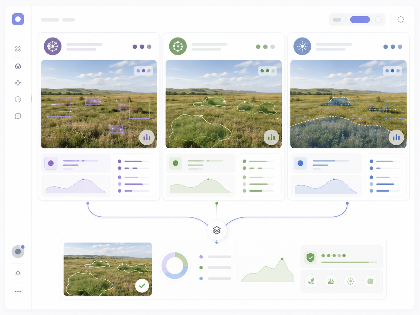
Conceptual VLM review interface showing how multiple visual interpretations can be compared before final dataset decisions.
Model
The current model family used a DINOv3 ViT-S/16+ backbone adapted into a regression model. Instead of classifying an image, the model outputs a single numeric curing estimate. A post-model calibrator then adjusts the estimate using month, season, and coarse region metadata.
Result
The best recorded grouped benchmark improved across successive data and training stages: early DINOv3 fine-tuning reached 15.32 MAE, the larger v2 curated dataset reached 12.82, the v3 image-only grouped model reached 8.57, and the calibrated v3 model reached 7.85.
The main lesson was that practical AI for environmental field assessment depends on the full system: curated data, reliable labels, structured review, realistic validation, and careful deployment design.
Current status
This remains a proof of concept. Accuracy depends on image quality, label quality, metadata reliability, and whether the deployment setting resembles the training data. The work demonstrates a credible pathway rather than a finished operational product.